August 2015 was the month we started traveling full time. Since than we’ve been across the United States from coast to coast. What a beautiful Country we live in. This time of year we reflect on where we’ve been, what we’ve learned and what we’re going to do next. We’ll be back to our winter home October 1st, then off to Southern California to visit Mom and from there we’ll head to Northern California to visit our kids. When we come off the road we always look foreword to spending time with family and friends.
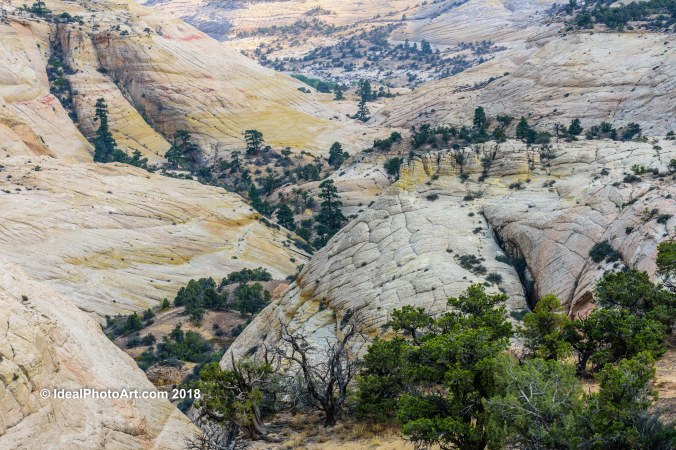
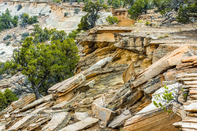
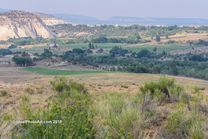
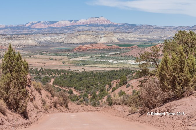
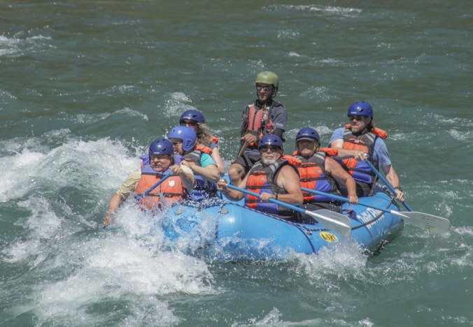
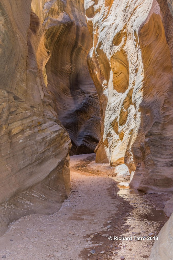
We still have a few things to do in Southern Utah like hiking to Calf Creek Falls a 6 mile round trip hike to a waterfall and swimming hole. Hiking the narrows at Zion National Park and taking an ATV trip to Cascade Falls and the ice cave near Duck Creek Utah. Below are some photos from our first 3 years of full-time RVing.
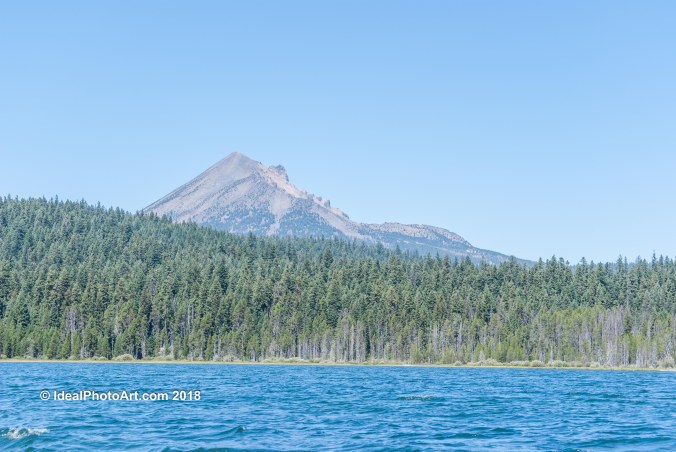
Canoeing Lake of the Woods OR
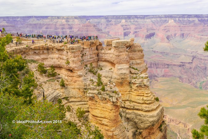
Grand Canyon AZ
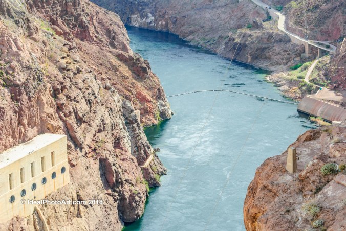
Hoover Dam NV
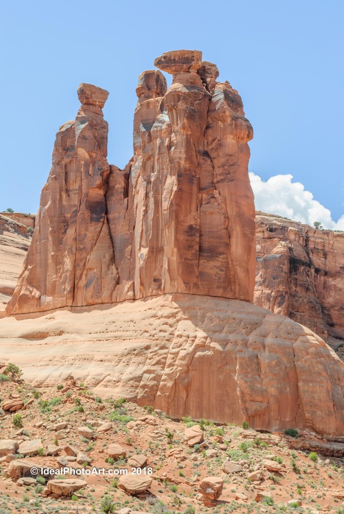
3 Gossips Arches N.P. UT
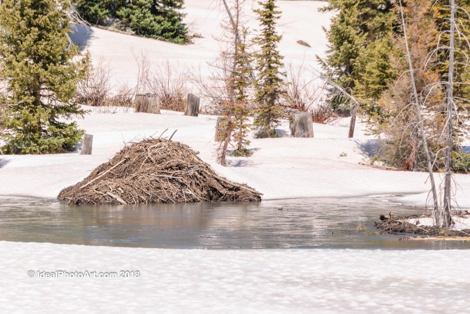
Beaver Den Grand Mesa CO
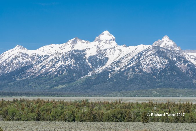
Grand Teton WY
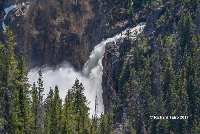
Yellowstone N.P. WY
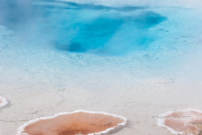
Yellowstone N.P. WY
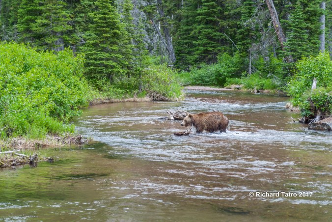
Glacier N.P. MT
Glacier N.P. MT

Glacier N.P. MT
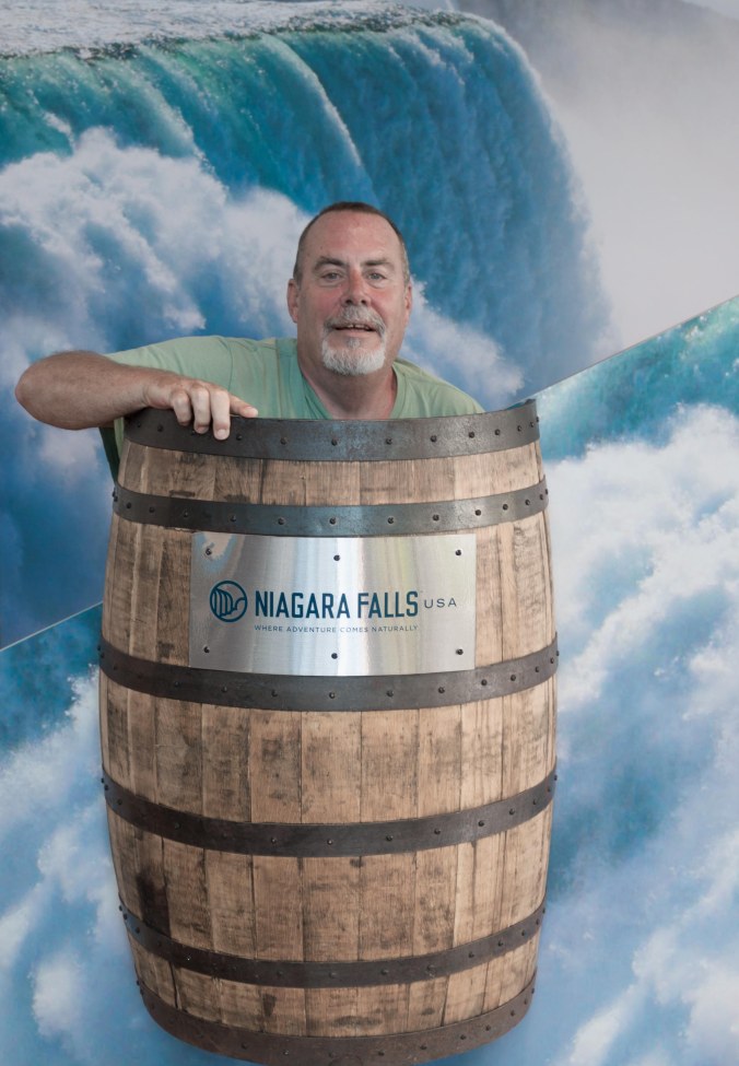
Niagara Falls NY
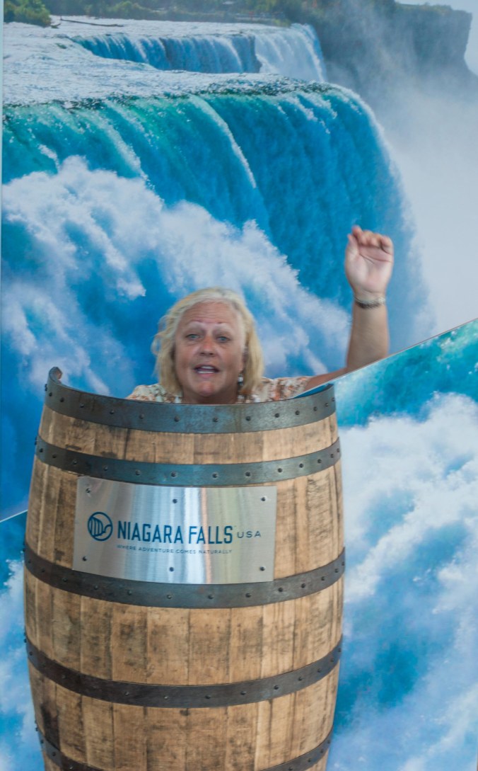
Niagara Falls NY

Niagara Falls NY
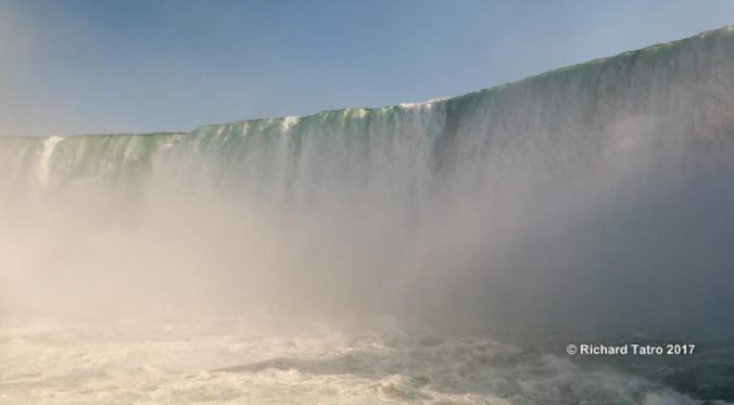
Niagara Falls
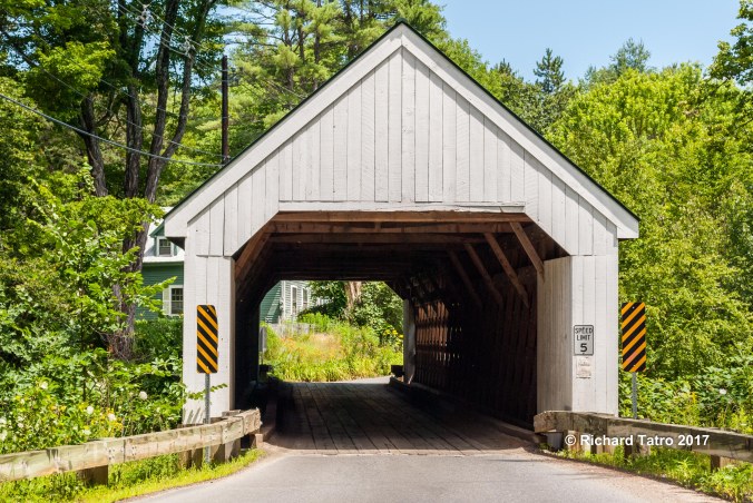
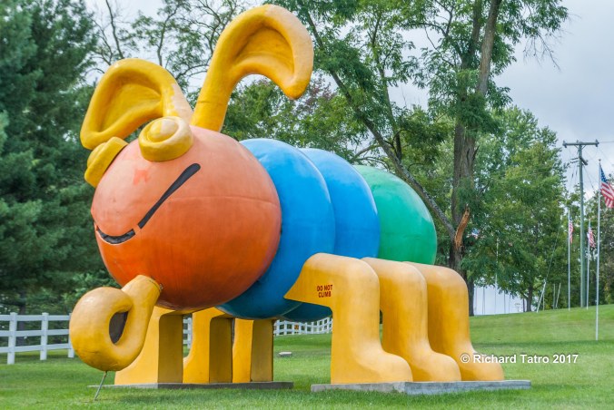
Vermont

Vermont
Maine
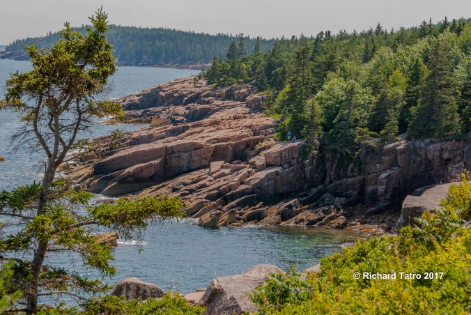
Maine

Maine
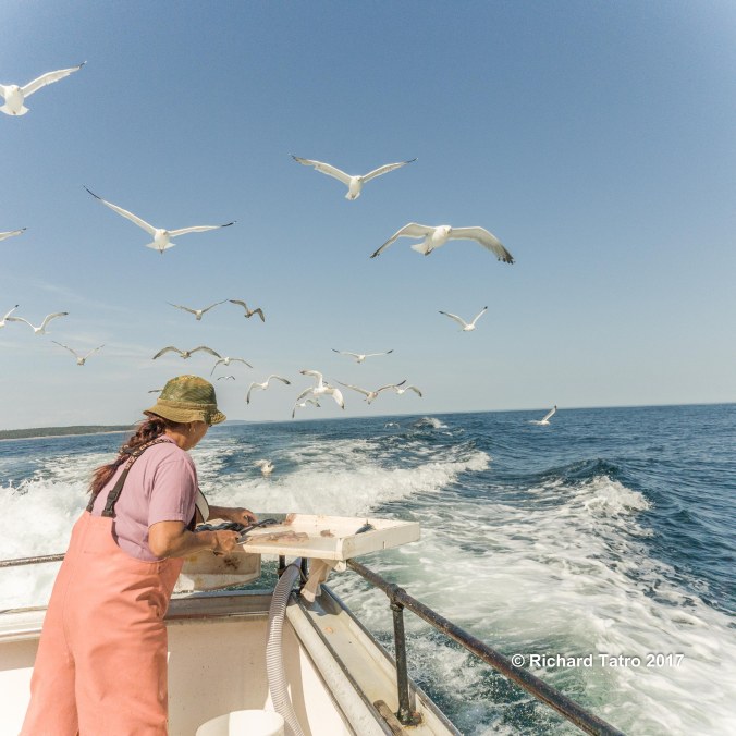
Maine
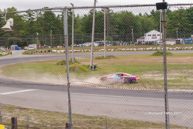
West Virgina

Tennessee
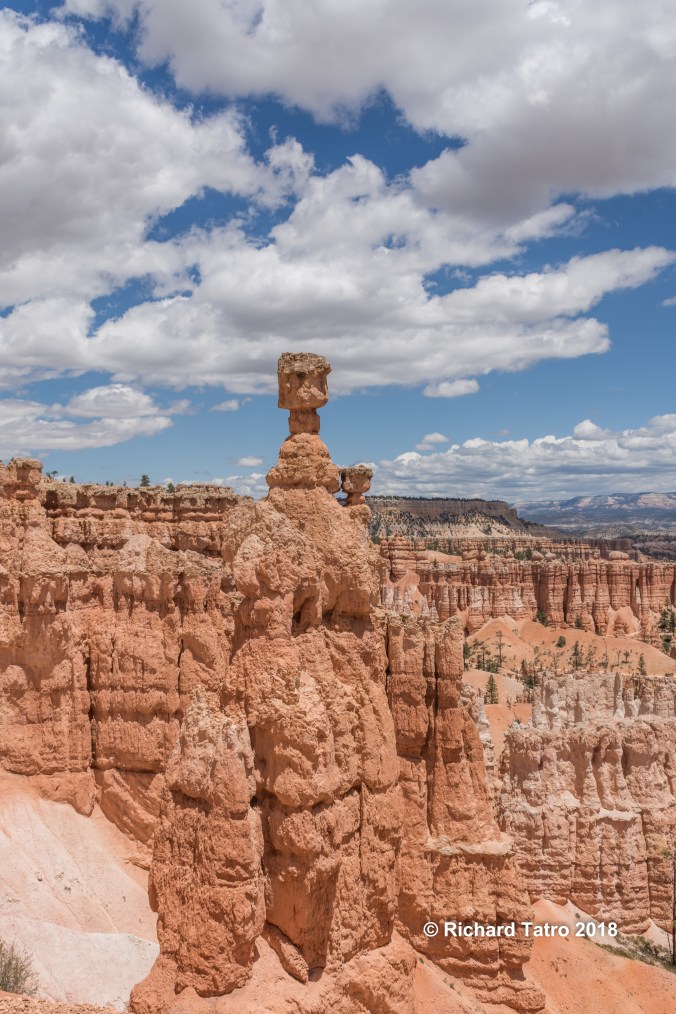
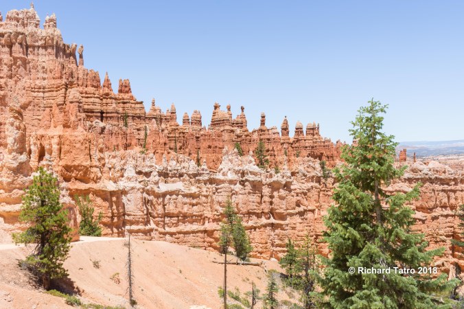
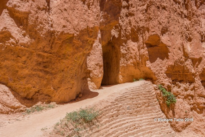
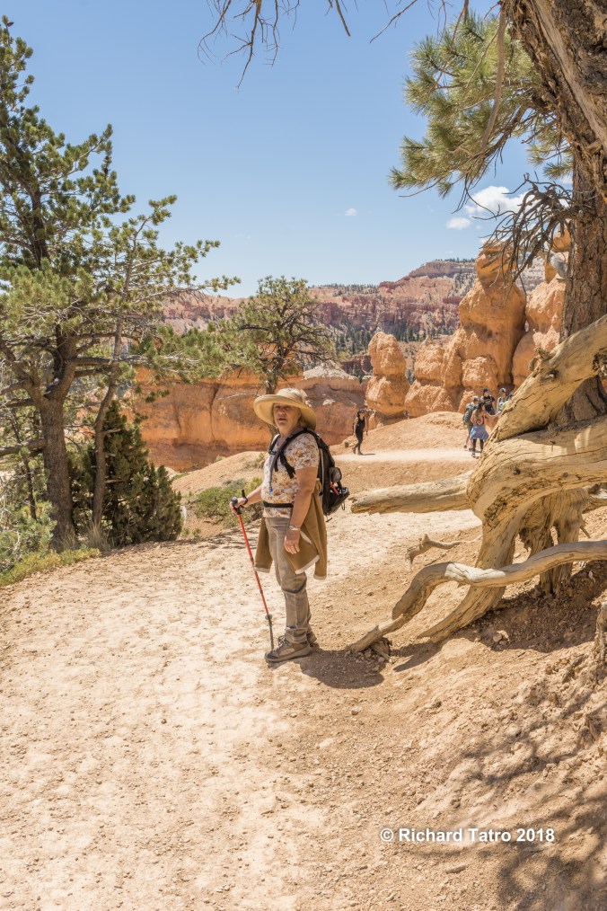
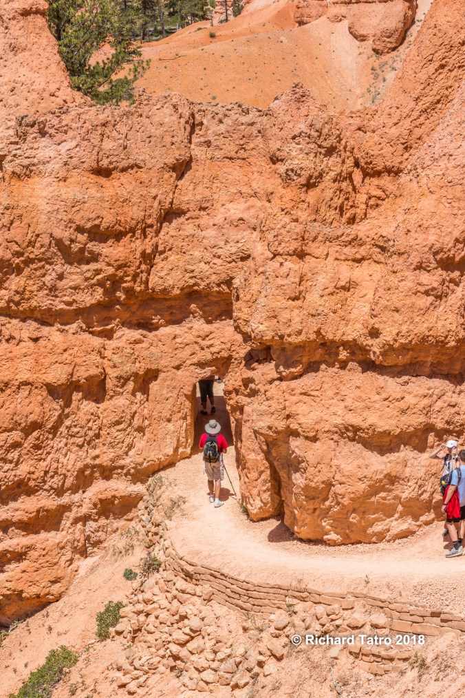
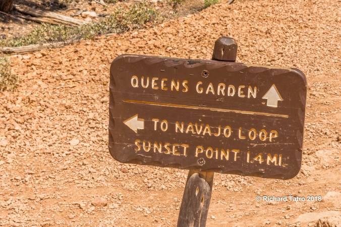
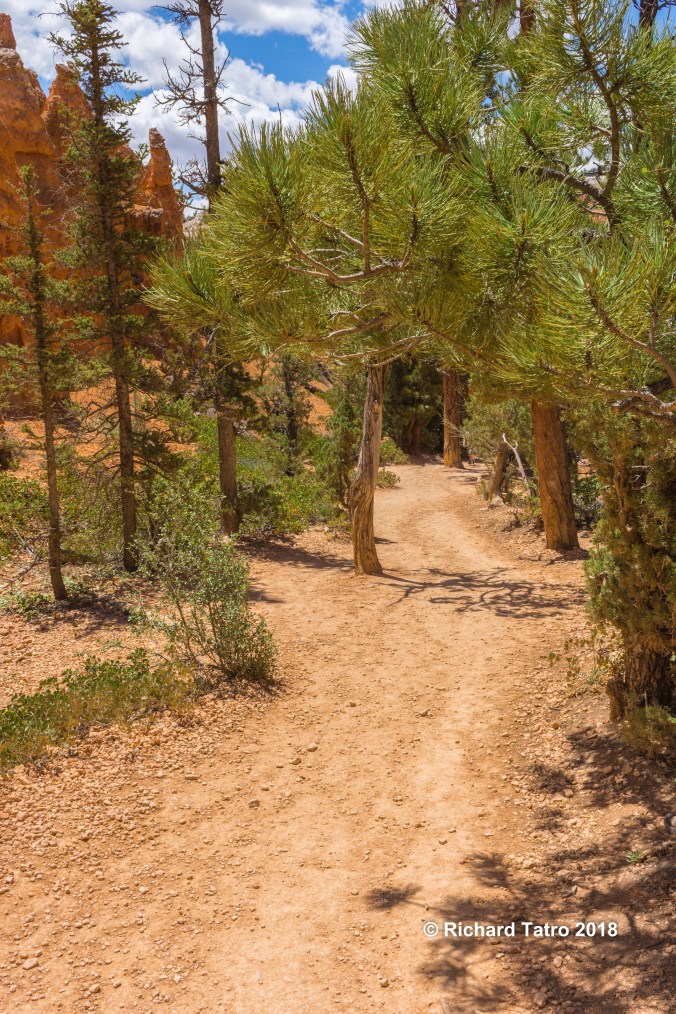
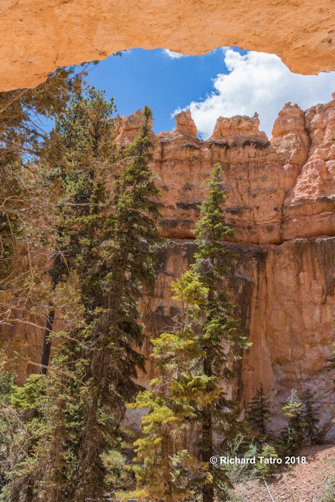
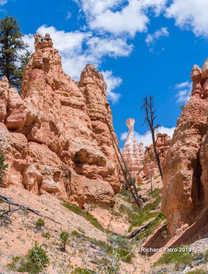
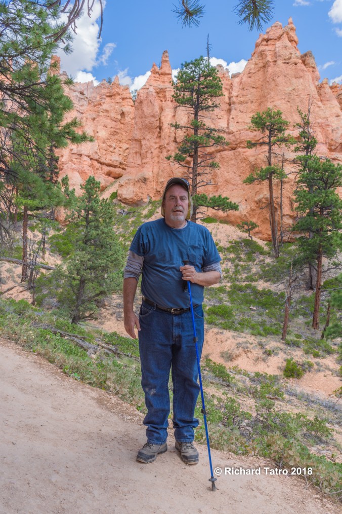
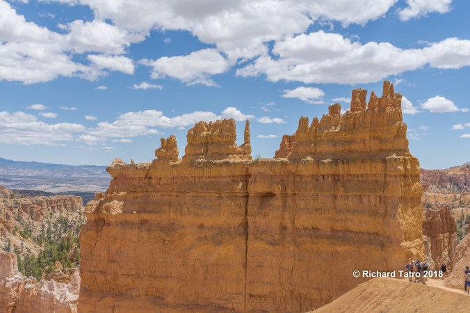
Bryce Canyon N.P

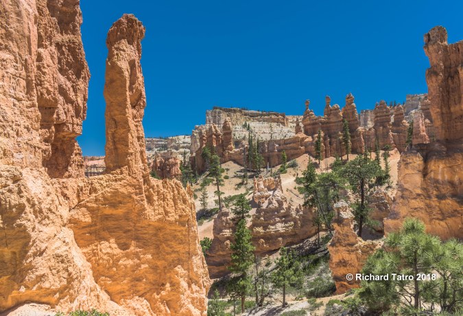
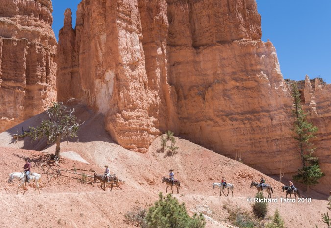
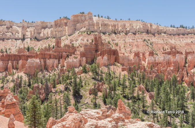
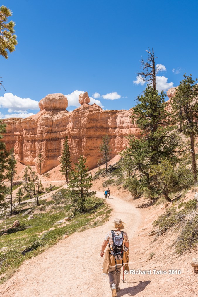
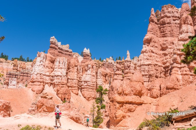
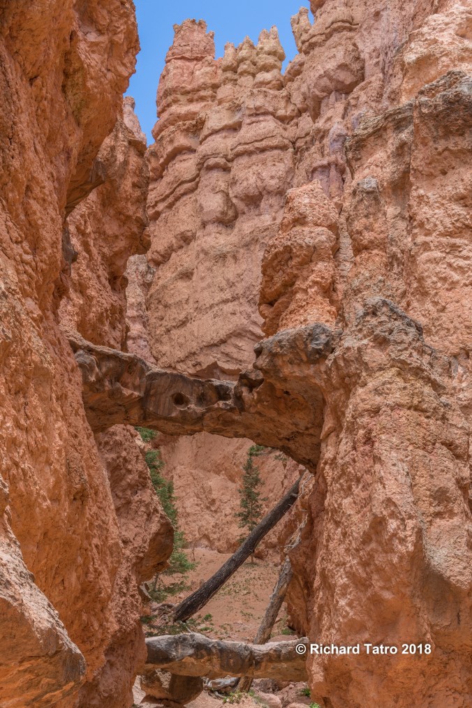
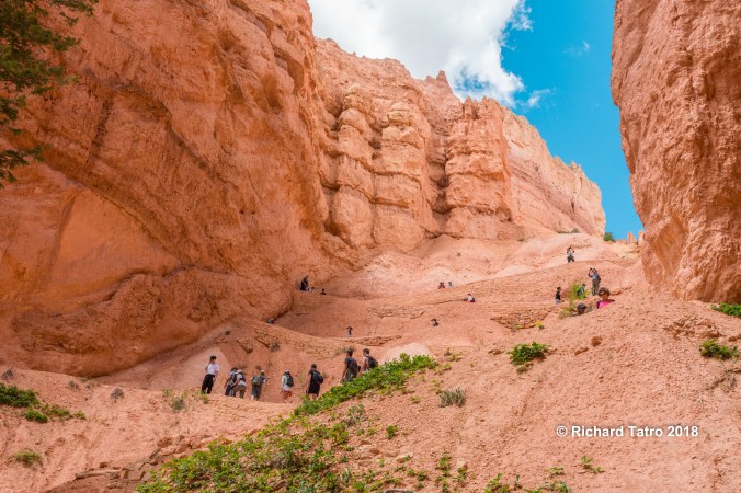
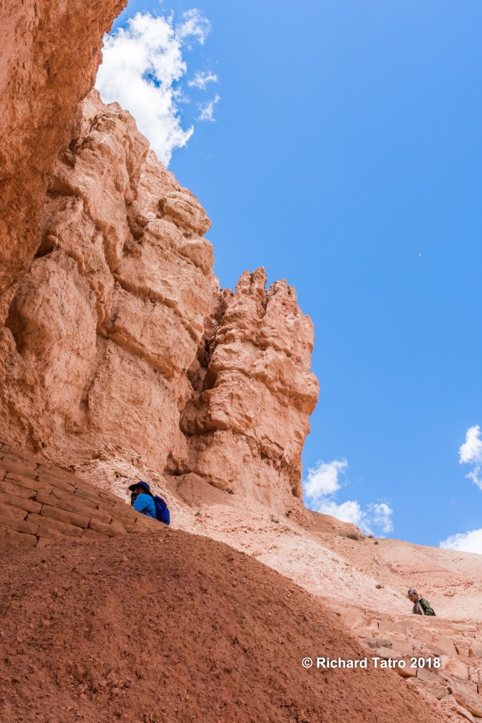
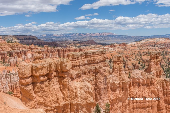
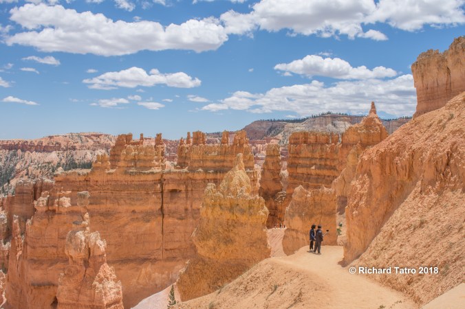
Bryce Canyon N.P.
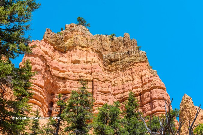
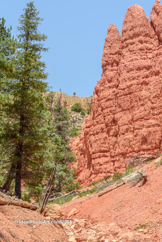
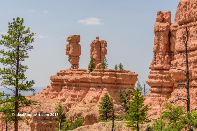
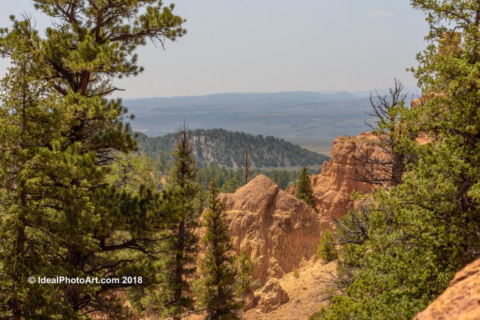
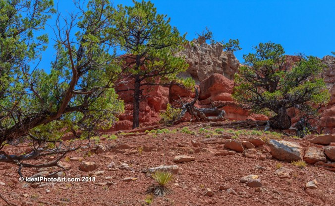
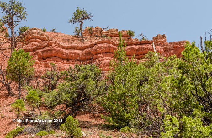
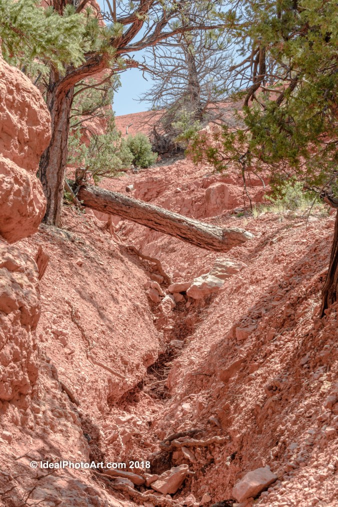
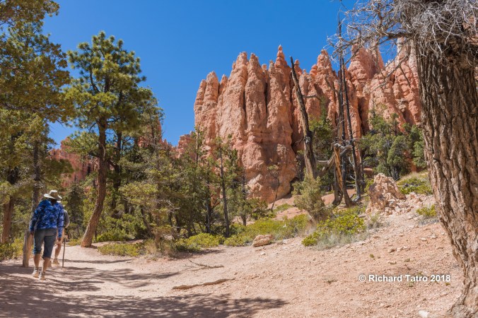
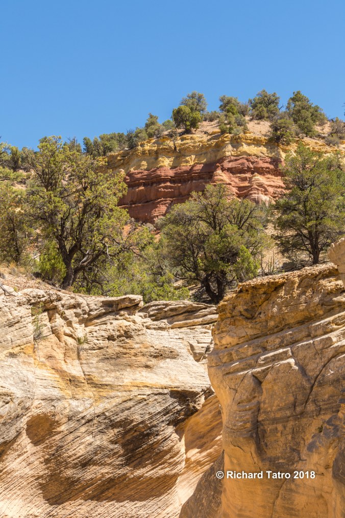
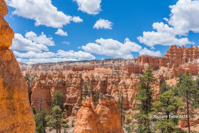
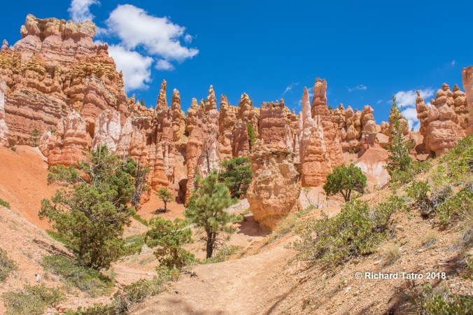
Hiking Red Canyon Utah in the Dixie National Forest.
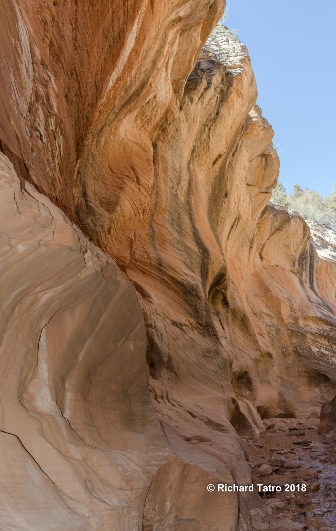
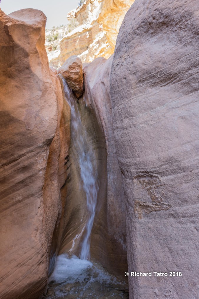
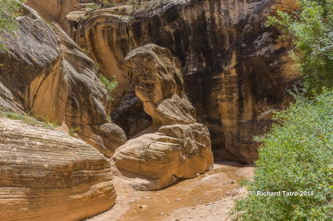
Willis Creek