The Narrows, Zion National Park

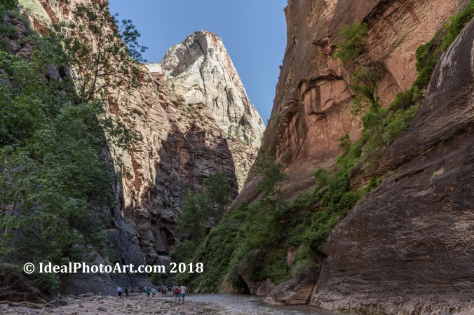
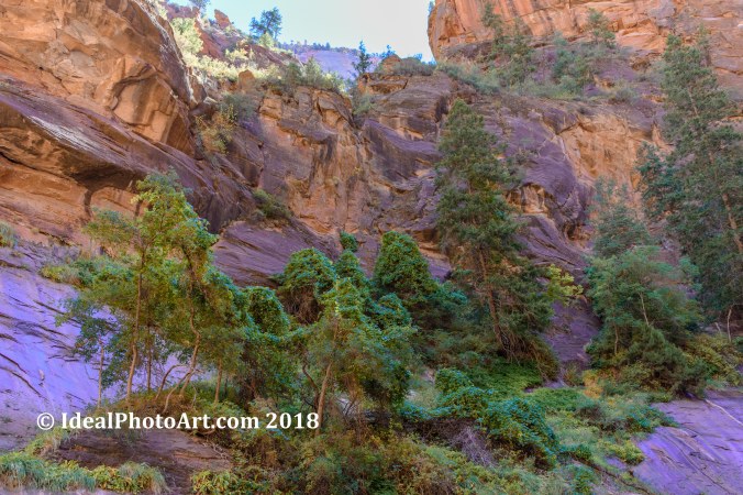
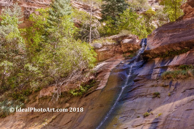
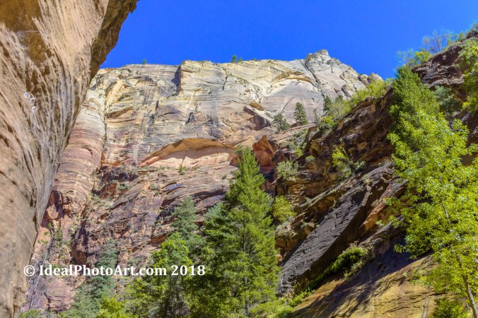
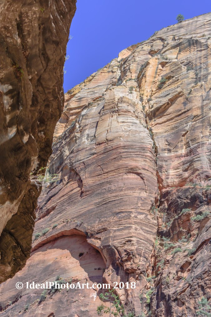
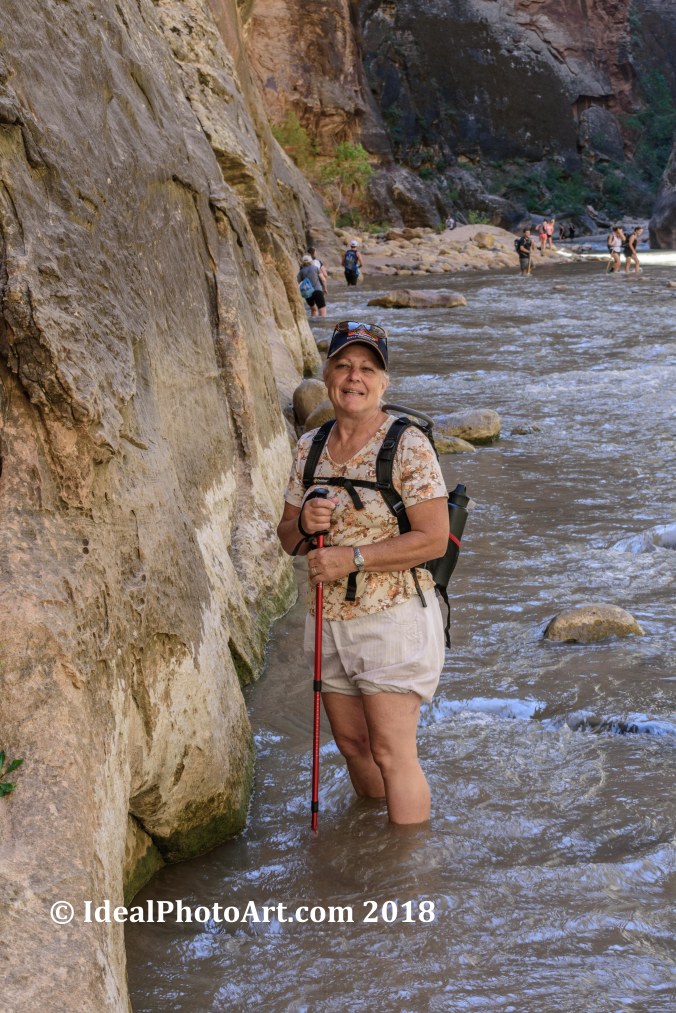
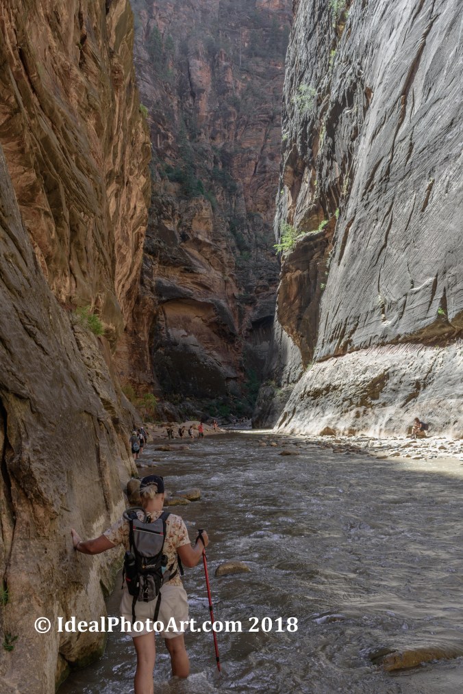
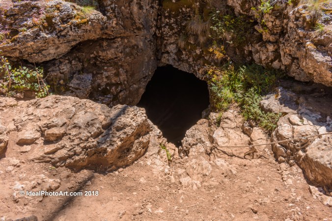
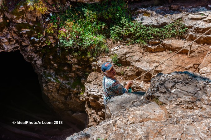
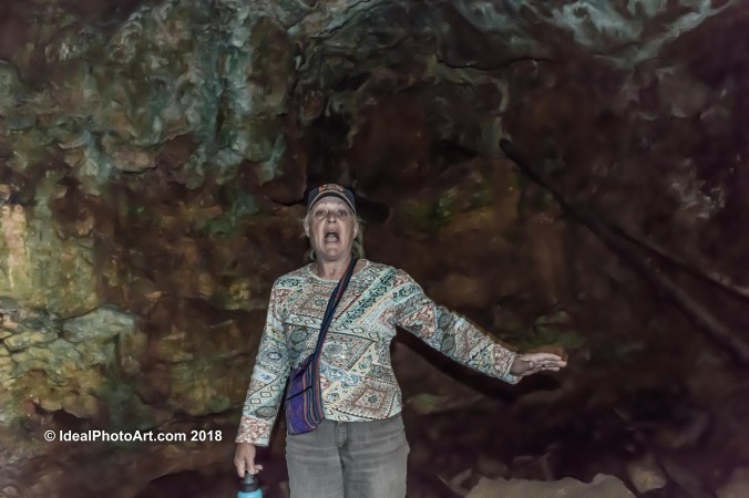
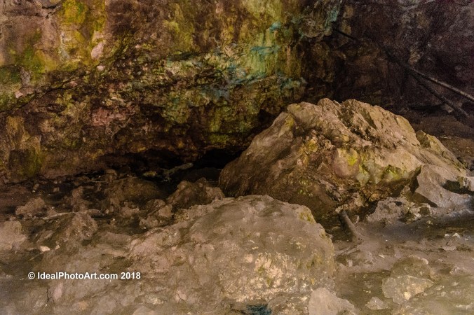
Hiking the Narrows was beautiful and challenging with the current in the river and the bottom full of rocks keeping a good footing was interesting. We used one walking stick if we had to do it again we would use two. We have been trying to do this hike for a couple of years now but the Narrows have been closed when we’re in town. It was well worth the wait.

Hiking the NarrowsZion N.P. NarrowsThe Narrows Zion National Park-1-3Virgin River Canyon.Virgin River Canyon.Darla in the NarrowsHiking in the Virgin River.Hiking the Narrows.

Wrapping up Duck Creek Utah.

By now your probable wondering how long were they in Duck Creek Utah. Well we had rented the side by side for 8 hours and we wanted to make the most of it. The last stop was Strawberry Point. Our plan was to watch the sunset from there. As we drove up to Strawberry Point we realized that we didn’t want to drive out of there in the dark. We hung out as long as we could and enjoyed the beauty. Strawberry Point is truly the hidden gem of Duck Creek Utah.

View from Strawberry Point Duck Creek Utah.View from Strawberry Point Duck Creek Utah.View from Strawberry Point Duck Creek Utah.View from Strawberry Point Duck Creek Utah.View from Strawberry Point Duck Creek Utah.View from Strawberry Point Duck Creek Utah.

More from Duck Creek Utah.

Duck Creek Utah has a volcanic history so we took the side by side out to Mammoth Cave to check out the lava tubes. The lava tubes has 5 ways to enter they are all pretty tight to get into and we found out the flashlight we brought doesn’t put out much light. So here are some photos of the entrances we found. Also included a lizard hanging out, local flower and a stump hit by lightning.

Duck Creek Mammoth Caves-1Duck Creek Mammoth Caves-2Duck Creek Mammoth Caves-3Duck Creek Mammoth Caves-4Duck Creek Mammoth Caves-5Duck Creek Mammoth Caves-6Duck Creek Mammoth Caves-7Duck Creek Mammoth Caves-8

Exploring Duck Creek Utah by UTV.

Duck Creek Utah is a small mountain community near Cedar Breaks National Monument. The people are very friendly and there are some sights to see in the local area. We’ve been talking about getting a Polaris side by side so we rented one and checked out the Duck Creek area. Below are photos of the Duck Creek Ice Cave.

Polaris 900 rental-1Duck Creek Ice Cave-2Duck Creek Ice Cave-1Duck Creek Ice Cave-3Duck Creek Ice Cave-4Duck Creek Ice Cave-5Duck Creek Ice Cave-6

Driving Hell’s Backbone.

Hell’s Backbone is a gravel road that was cut out through the forest back in 1933 by the Civilian Conservation Corps to connect Escalante Utah and Boulder Utah as a summer time short cut. Its a beautiful 30 to 40 mile drive through different scenery. The whole 2 hour drive on this road I couldn’t help but wonder what kind of 1933 automobile could make it up and over this road and if it did how much of a short cut could it be.

Scenery from Hell's Back Bone.Scenery from Hell's Back Bone.Cloud over Mountains of Hell's Back BoneHell's Back Bone Bridge sign.View from Hell's Back Bone Bridge.View from Hell's BackBone Bridge.View from Hell's BackBone Bridge.View from Hell's BackBone Bridge.


Hiking Lower Calf Creek Falls.

The trail head is located about 20 miles east of Escalante Utah in the Calf Creek Recreation area. The hike is 6 miles round trip and is listed as moderate but most of the hiking on the trail is soft dirt or sand which will challenge your legs. The elevation changes are minimal and the reward is huge. The first 3 photos are aerial views of the canyon where the trail is located. The rest of the photos are views from along the trail as we hiked.


Hiking Calf Creek Falls Trail.View from Calf Creek Falls TrailWid Flower at Calf Creek FallsProfile view of a Wil Flower.The Top of Lower Calf Creek Falls.Lower Calf creek FallsCalf Creek Falls and Pond.